|
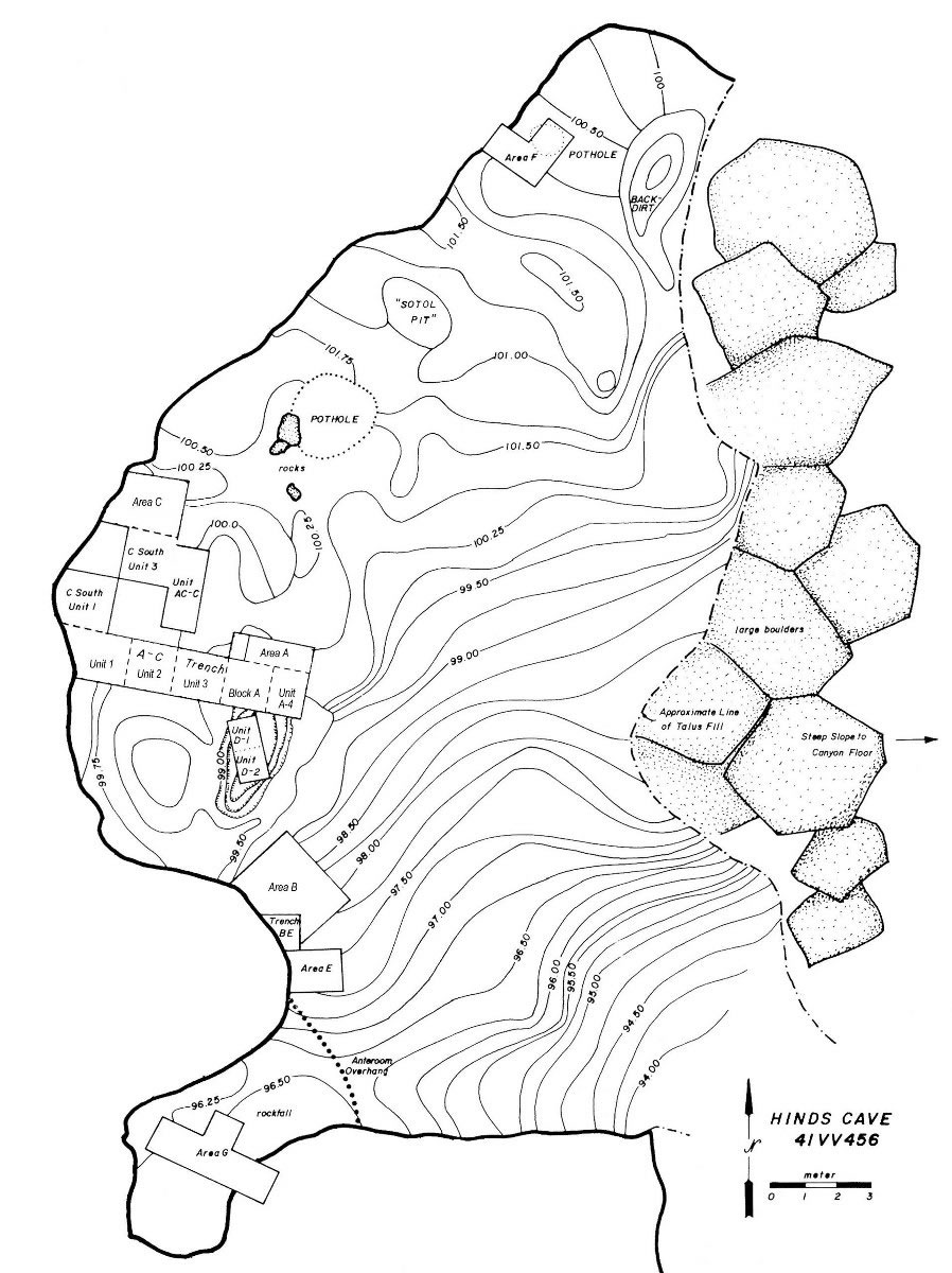
| Detailed map of Hinds Cave showing topography, physical features and excavation areas. The contour interval is 75 centimeters. The line marked “Approximate Line of Talus Fill” coincides with the drip line of the shelter overhang. Adapted from Shafer and Bryant 1977. |