|
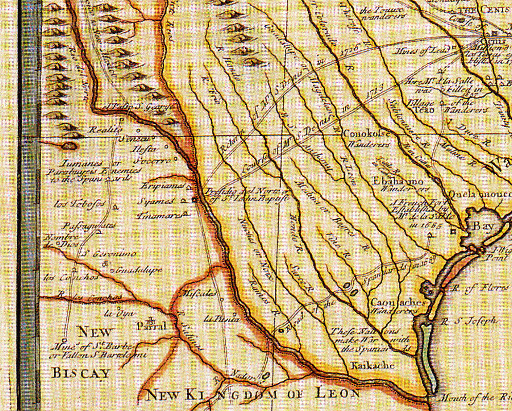
| This map by the English cartographer John Senex was copied from a 1718 map by Guillaume Delisle (see this map in Los Adaes exhibit). The English were competitors with the French for Indian trade in eastern North America and were keenly interested in the geography of the French-Spanish frontier, although their knowledge of northern New Spain was clearly limited. Ironically, the 1718 source map was less accurate than Delisle's earlier 1708 map with regard to the La Junta region. |