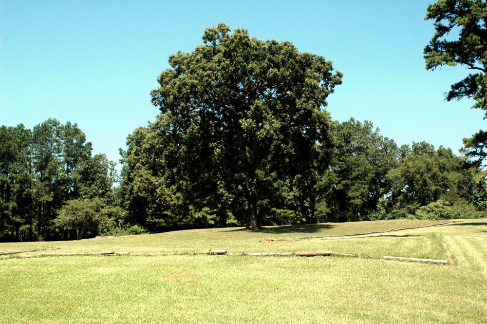
Presidio Nuestra Seora del Pilar de los Adaes
|
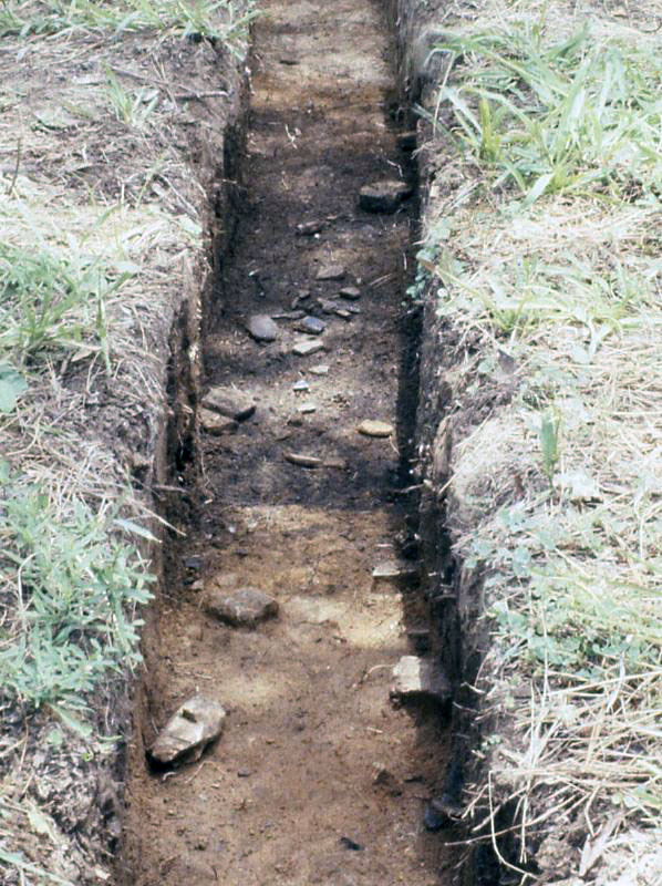
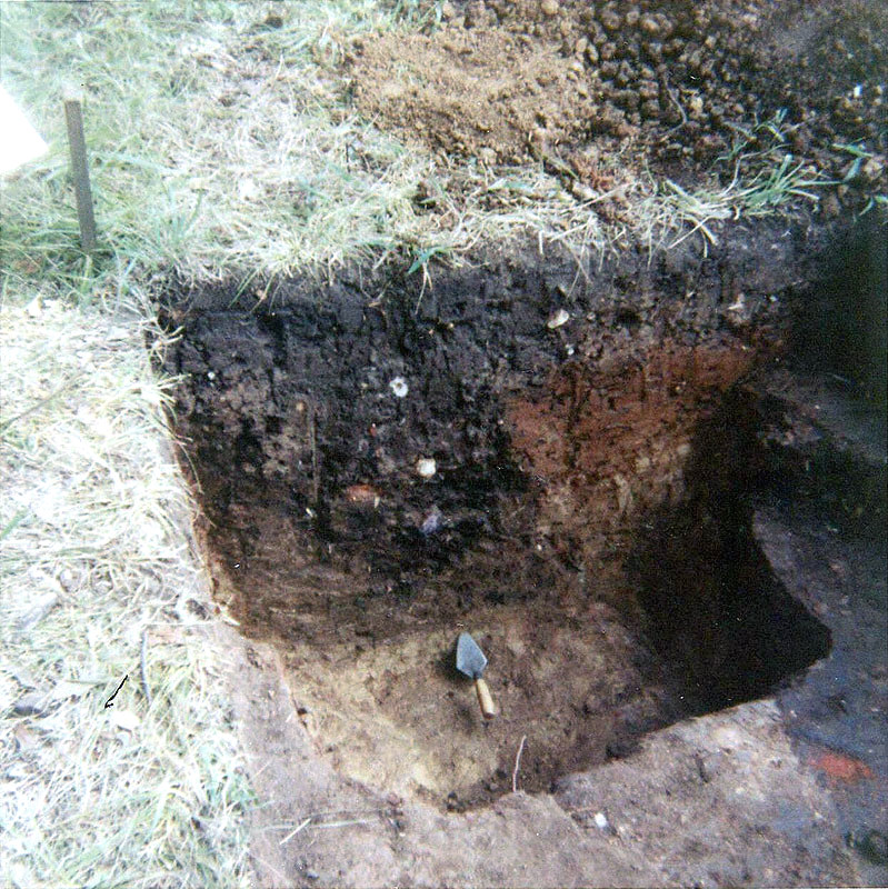
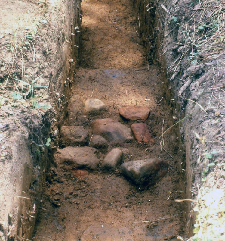
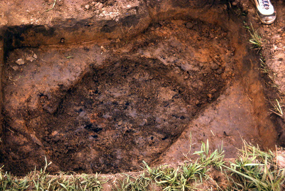
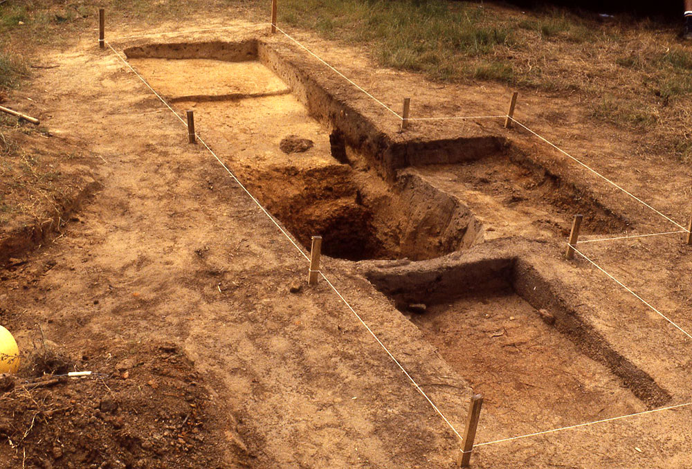
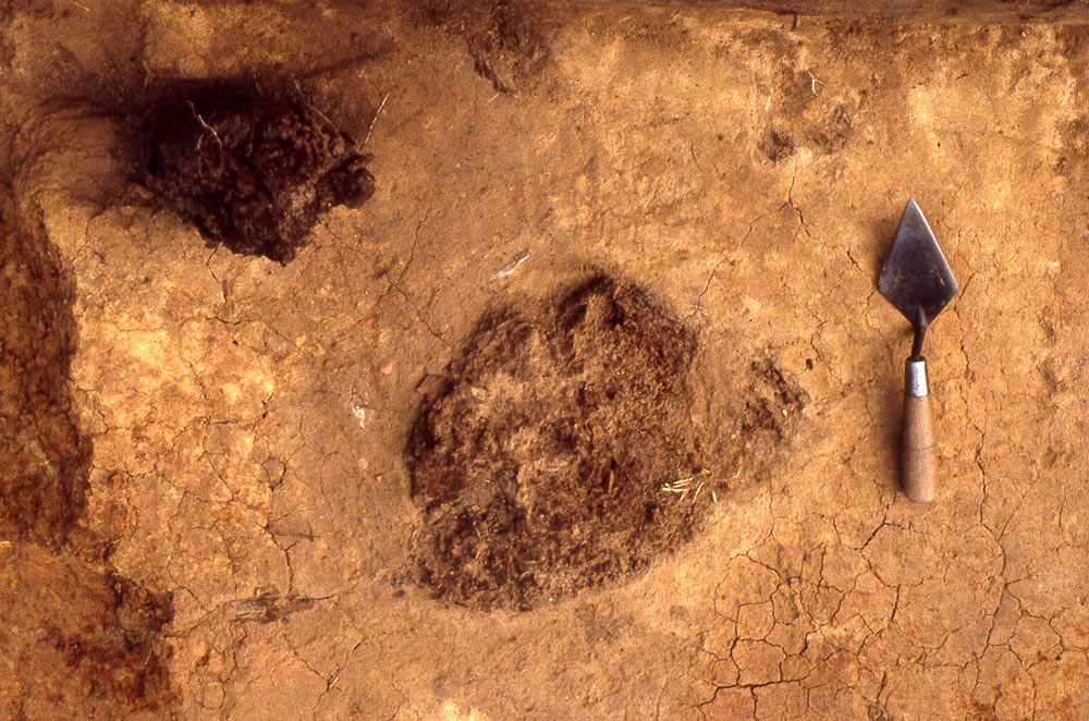
The Presidio Los Adaes has been the focus of most of the archeological investigation. Many of its internal and external features have been explored. Overall, the archeological work has shown that Urrutia's 1767 map is a fairly accurate plan of the presidio in its final decades. But archeological evidence has also been found of earlier architectural features, such as a defensive moat, that are shown on the 1720 Architect's plan. The presidio was in constant need of repair and the inspector's reports all point that out. It was virtually destroyed by a tornado and the commandant sent word to Mexico City that they would repair the stockade after they rebuilt their housing. Governor Winthuisen (1741-1743) did extensive repair and re-building, the results of which can be seen in the archeological record. For instance, Avery's test excavations in vicinity of one of the barracks suggest they used a clay layer in places covering the sheet midden to level parts of the fort's interior. This activity seems to date to the Winthuisen period. Some of the documented architectural features associated with the Presidio include: Bastions - three bastions are shown on both the 1720 architect's plan and the 1767 Urrutia map; one points to the north, one to the southeast, and one to the southwest. These protruding defensive features were built to accommodate cannons that could fire along the three sections of palisade walls. The northern and southeastern bastions have been partially excavated, confirming the basic layout. Palisade - evidence of a pine and cedar post palisade were uncovered. The posts were at intervals of less than 50 cm (1.5'). There is evidence of rebuilding-a later palisade was built on top of the remains of the earlier palisade. The later posts were about the same size, but were not buried as deep. Dry Moat - A dry moat or defensive ditch (Spanish, fosse) is shown on 1720 architect's plan but not on 1767 Urrutia map. Excavations on the north side of the northern palisade uncovered a 6 m wide, 1.1 m deep ditch filled with midden debris and capped with a layer of clay. It appears that a dry moat was indeed excavated with the initial construction of the presidio, but was later filled in with refuse and capped by clay. The extent of the defensive ditch is not known, nor is the precise sequence of events. Wells - At least five hand-dug wells or cistern pits have been found at Los Adaes. Two occur within the presidio, and three lie outside it. There are almost certainly others present in and around the presidio and mission. Well 2 had a large catchment basin around the shaft of the well. Within the basin were preserved remnants of three upright wooden posts made of cedar and oak. These are thought to be part of a water lift (noria). The well shaft was over four meters (13 feet) deep, the limit of the range of the hand augur archeologists used to probe the depths of the wall. Well 2, then, functioned as both a well and a cistern and may have been associated with a house structure from which water draining from the roof was directed. Water shortages were documented throughout the 18th Century at Los Adaes, and wells and cisterns must have been frequently constructed and maintained. Future - Archeologists have excavated less than 10% of the presidio. The work done to date demonstrates that the Urrutia map does indeed provide a good snapshot of what the site looked like in 1767, but it only provides what we might call an overview of the presidio's story during its final years. Archeogical evidence shows that much of the site's earlier history lies buried and scarely known from archival records. The well-preserved deposits at Presidio Los Adaes have considerable future research potential. |
|